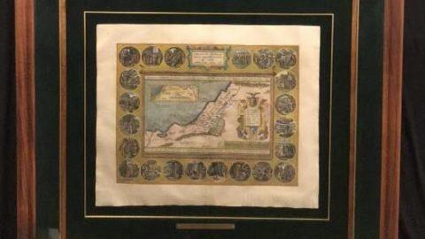
Maris Pacifici Original Antique Print
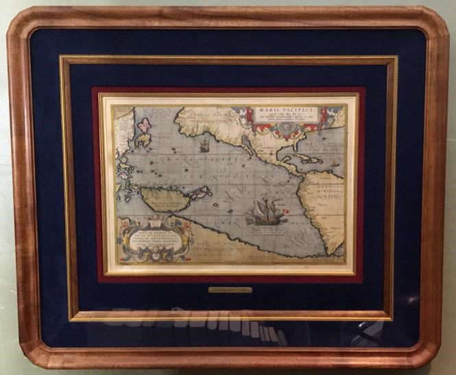
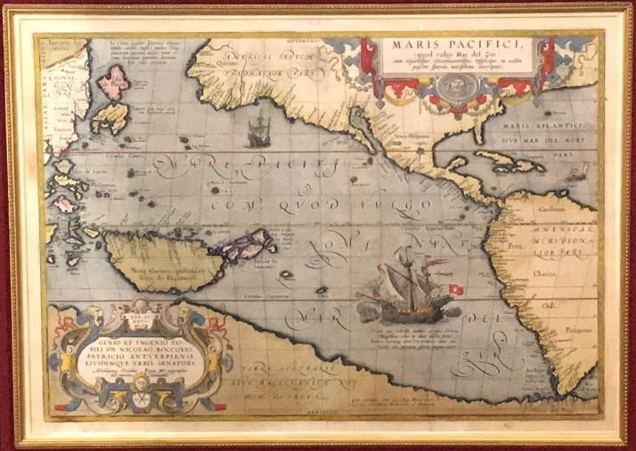
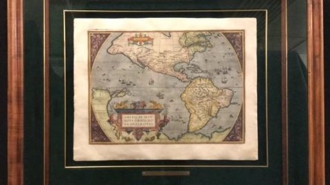
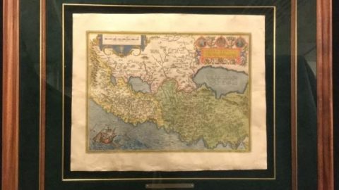
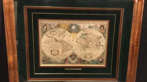
Published in 1589 by Antwerp Ortelius, who is recognized widely as the creator of the modern atlas (Typus . This historically important 16th century map by Abraham Ortelius, with beautiful hand colouring, shows the first printed map devoted to the Pacific Ocean and the first map in which North and South America are separately designated. Magellan’s ship “The Victoria” is shown cruising the South Pacific. Also of note is the inaccurate expanse of Terra Australis, New Guinea, and the early attempt at defining the landmass of Japan. This beautiful map is enhanced with two decorative title cartouches.
Frame: 34 1/2” x 29 1/2”
Map: 13 1/2” x 19”

