
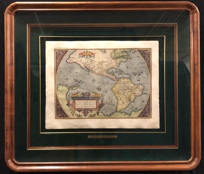

Americae Sive Novi Orbis Antique Map
Published in 1587, this historically important 26th century map by Abraham Ortelius, shows the New World with the latest information derived from explorers. Sailing ships, sea monsters, and an elaborate title cartouche enhance this important map. Of note is the absence of the Great Lakes in North America and the telltale bulge along the eastern coast of South America was apparent on the first state. Ortelius’ , inspired by Ptolemy, shows the Great Southern Continent off the tip of South America stretching to and including New Guinea.
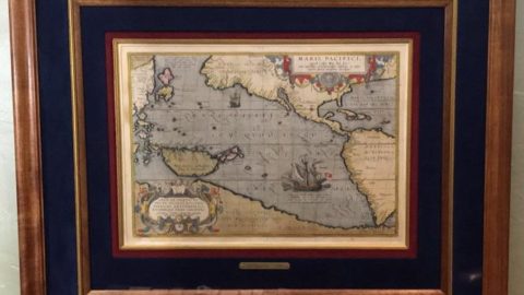
Frame measures 31.5” x 36.5” Map measures 14” x 19”
