
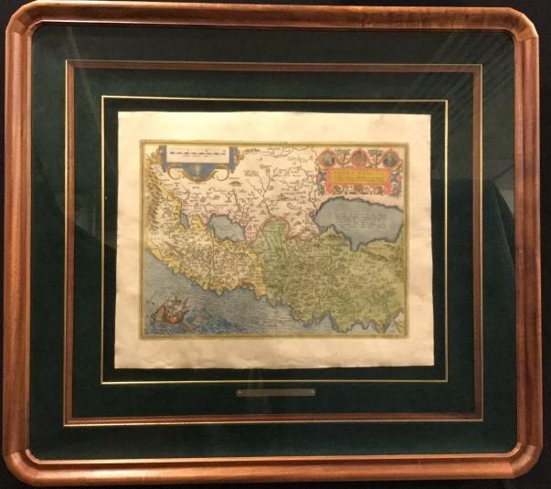
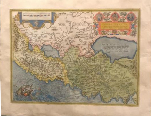
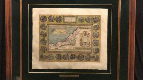
Terra Sancta Ortelius 1584 Antique Print
Published 1584, this rare mapping of the Holy Land was published by Abraham Ortelius in 1584 in his THEATRUM ORBIS TERRARUM. Of special interest is the orientation–to the east– as well as the distortion of the coast line. Many fanciful bays and promontories have been added thus reducing the accuracy. This map, finely hand coloured, is embellished with signature sailing ships and sea monsters and a very detailed biblical cartouche. Encouraged and advised by his friend, Gerard Mercator, Ortelius began his THEATRUM in 1570, expanding and revising it from an original 53 maps in 1570 to 119 in 1598, the year of his death.
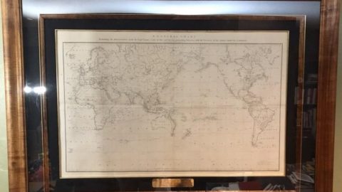
Frame measures 37 1/4” x 34” Map measures 14 1/2” x 20”
